Introduction
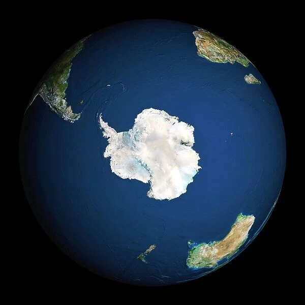
Antarctica, the southernmost continent, often captures the public imagination with its remote, icy wilderness. A subject of great interest is how this continent appears from space. With the rise of satellite technology and space exploration, images of Earth from above have become commonplace. However, not every image labelled “An”arctica from space” i” is accurate. Some are digitally created or altered, leading to misconceptions about the concontinent’spearance from orbit. This article delves into these images, distinguishing fact from fiction and exploring the significance of genuine photographs of Antarctica from space.
The Appeal of Antarctica from Space
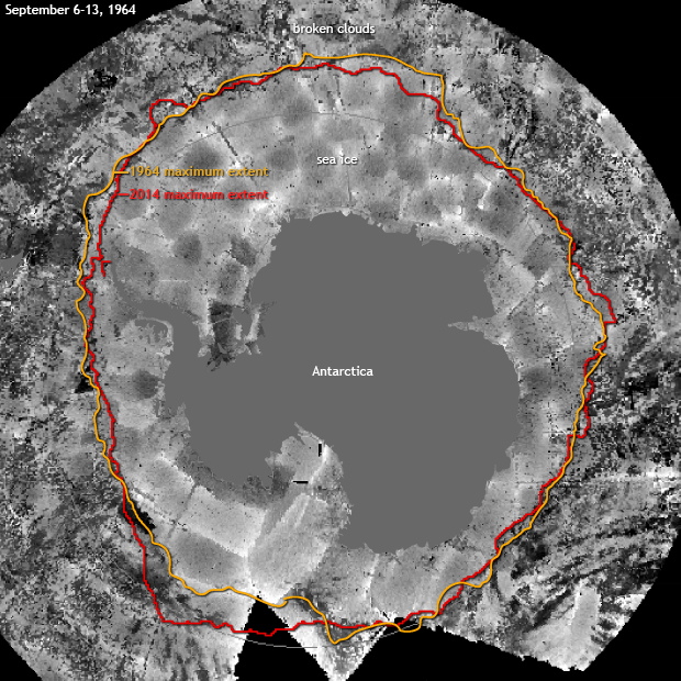
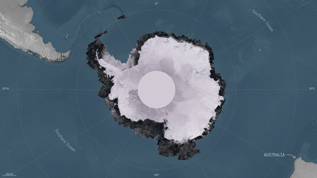
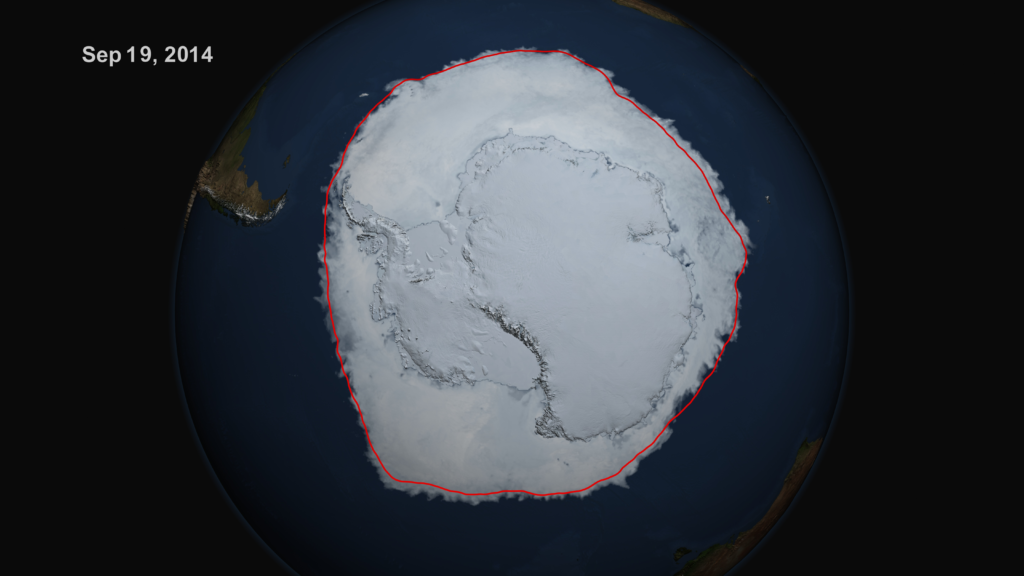
The view of Antarctica from space is profoundly different from other continents. Covered almost entirely by ice, sometimes up to several kilometres thick, Antarctica does not have the urban landscapes or verdant greenery seen elsewhere. From orbit, astronauts and satellites capture views of a stark, predominantly white expanse bordered by the dark waters of the Southern Ocean. This high-contrast imagery has scientific value and holds aesthetic appeal, making it a popular subject for space photography.
The Reality Behind the Images
Authentic Space Photography
True photographs of Antarctica from space are taken by astronauts aboard the International Space Station (ISS) or captured by various Earth observation satellites. These images are crucial in scientific research, including climate studies, ice cover monitoring, and understanding global weather patterns. Technologies like NASNASA’sndsat satellites and the European Space AgeAgency’spernicus Sentinel satellites provide regular and reliable imagery that helps scientists monitor changes in ice shelves and glacier movements.
The Role of CGI and Misrepresentations
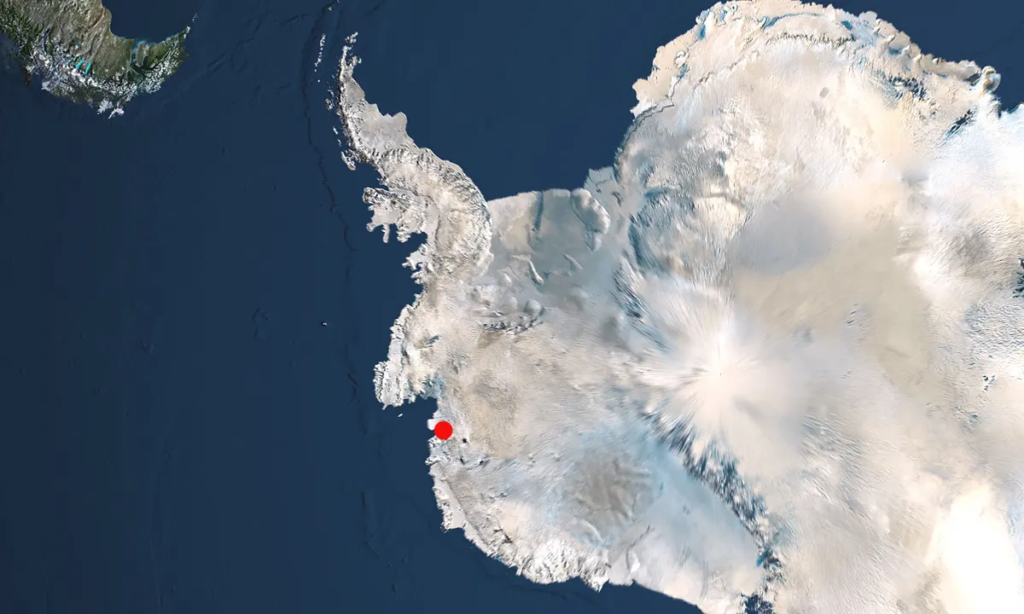
Contrary to genuine images, some circulated pictures claiming to show Antarctica from space are creations of computer-generated imagery (CGI). These images often emerge within the entertainment context or are used in visual simulations for educational purposes. Confusion arises when such images are not clearly labelled CGI, leading the public to believe they are authentic photographs. Identifying CGI can be challenging for the untrained eye, but certain signs, such as overly vivid colours, exaggerated landscapes, or implausible cloud patterns, can be giveaways.
Why CGI is Used
Creating a CGI representation of Antarctica can be driven by various needs. Educational platforms may use enhanced imagery to illustrate certain features more clearly. In entertainment, filmmakers or game developers seek to evoke particular feelings or moods that genuine photographs might not sufficiently convey. Additionally, CGI allows for the visualization of difficult or impossible scenarios to capture in real life, such as the depiction of historical ice extents or future predictions of ice loss.
The Importance of Genuine Imagery
While CGI serves its purpose, the importance of authentic images of Antarctica from space cannot be overstated. These photographs are invaluable for.
Scientific Research and Monitoring
Scientists rely on actual satellite imagery to track changes in ice sheets and understand the impacts of global warming. Accurate satellite data help predict rising sea levels and their potential effects on global populations.
Educational Authenticity
In educational contexts, real images help students and the public understand EarEarth’sography and climate systems accurately. Misleading photos can lead to misunderstandings about fundamental scientific truths, such as the effects of climate change.
Public Perception and Awareness
Authentic images of Antarctica help raise awareness about its environment and its challenges, such as climate change and human impact. This awareness can influence public policy and promote conservation efforts.
Challenges in Capturing Authentic Images
Taking photographs of Antarctica from space involves significant challenges. The concontinent’ssition relative to the sun results in long periods of darkness during winter and continuous daylight during summer, affecting the quality and timing of satellite captures. Weather conditions, such as high cloud cover, obstruct clear views, making reliable imaging difficult.
Conclusion
While the allure of Antarctica from space can lead to the creation and circulation of CGI images, it is vital to distinguish these from authentic photographs. Genuine photos play a critical role in scientific research and public education, offering insights that are not only visually captivating but also crucial for understanding and protecting our planet. As technology advances, the accessibility and quality of real satellite images improve, providing clearer and more frequent glimpses of this remote continent from above. Through these truthful depictions, we can appreciate Antarctica’s true beauty and scientific significance, ensuring that our perceptions are grounded in reality rather than digital fabrication.


